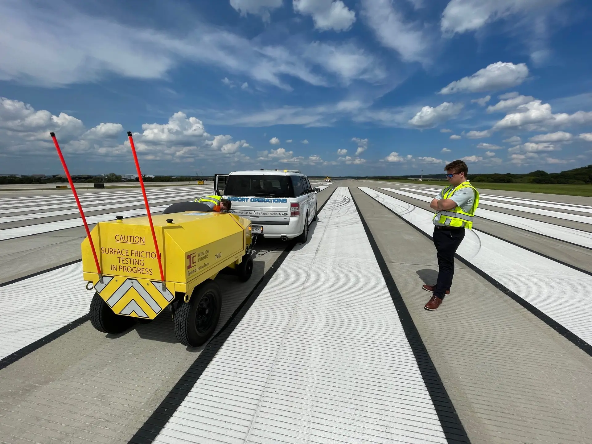
Airfield Imaging, Distress, and Friction
We provide comprehensive airfield imaging and analysis services, ensuring meticulous coverage of multi-pass or multi-lane concrete areas. Our Connect™ software seamlessly integrates high-resolution data to provide detailed distress ratings and allows for optional anchoring to ground references for enhanced precision.
Deliverables for In-depth Analysis and Planning
Our deliverables include raster images and vector layers that enumerate each distress type and treatment recommendations on a slab-by-slab basis. These detailed distresses are exported for convenient loading into GIS or CAD software, such as ArcGIS, QGIS, AutoCAD, and Microstation, facilitating further analysis and treatment planning.
Streamlined Workflow for Engineers
Engineers can efficiently import defects and recommended treatments into their preferred software environment, enhancing the workflow for airfield maintenance and safety strategies.
Our clients


