Jacksonville, Florida
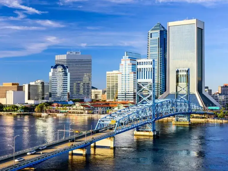
Maintaining continuity of historical data while transitioning to a new collection methodology is a challenge for many agencies. By leveraging 3D laser technology, our team eliminated the subjective variability often encountered with windshield operators, which ensured robust, reliable results for Jacksonville, Florida’s 3,700 centerline mile network. The city, which is the largest in the United States by land area, required faster and more repeatable techniques that would provide a better basis for decisions. Our team developed a method of calculating the pavement condition score for each section in a way that mirrored what had been done with historical windshield data. In addition to providing faster and more repeatable results, the city gained access to 360-degree imagery of their extensive road and right-of-way (ROW) assets.