IrisPRO Pave
Data Collection - Made Faster
Collecting pavement data on your network – just driving your roads – usually accounts for the majority of time and cost on a road condition survey. Consider how much time your crews will save when the collection equipment is easy to calibrate and maintain, the collection core keeps everything tightly and effortlessly synchronized, the subsystems play well together, the overall system is reliable, and the collection software tracks the routes to be collected and helps the crew navigate. Contact us today to learn more about the Iris (Integrated Road Information System) platform and about ICC Drive.
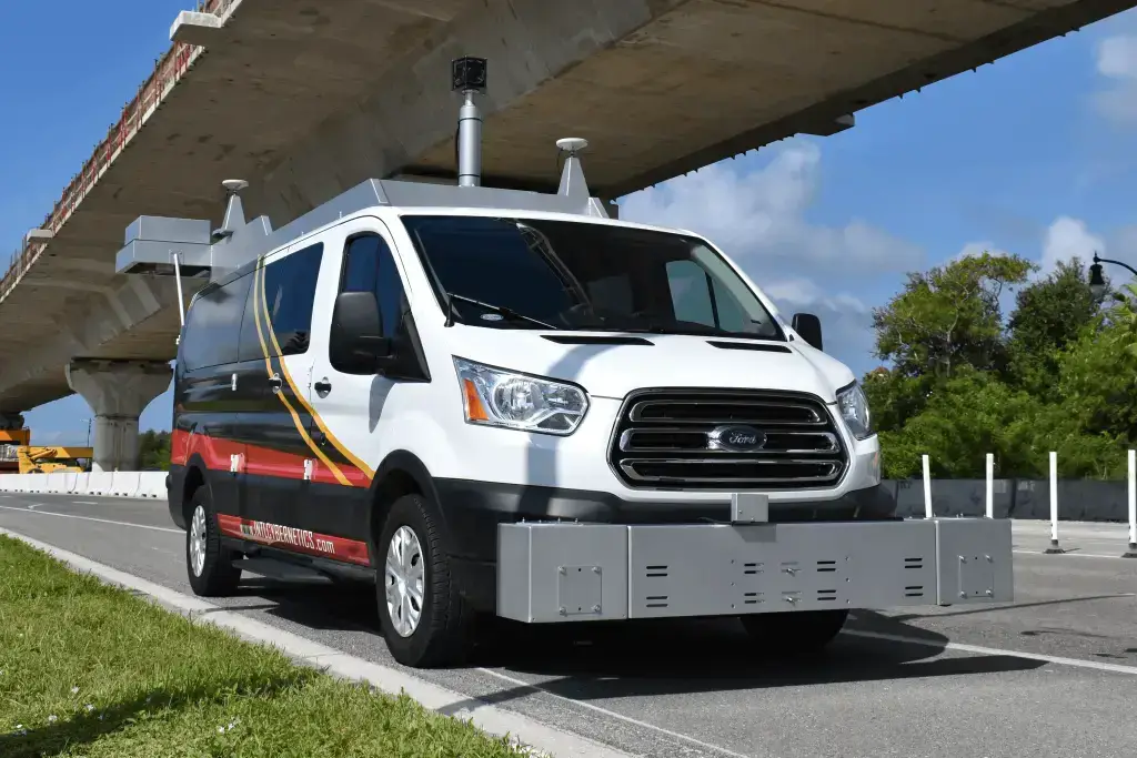
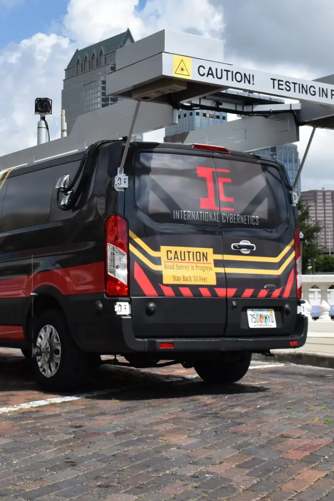
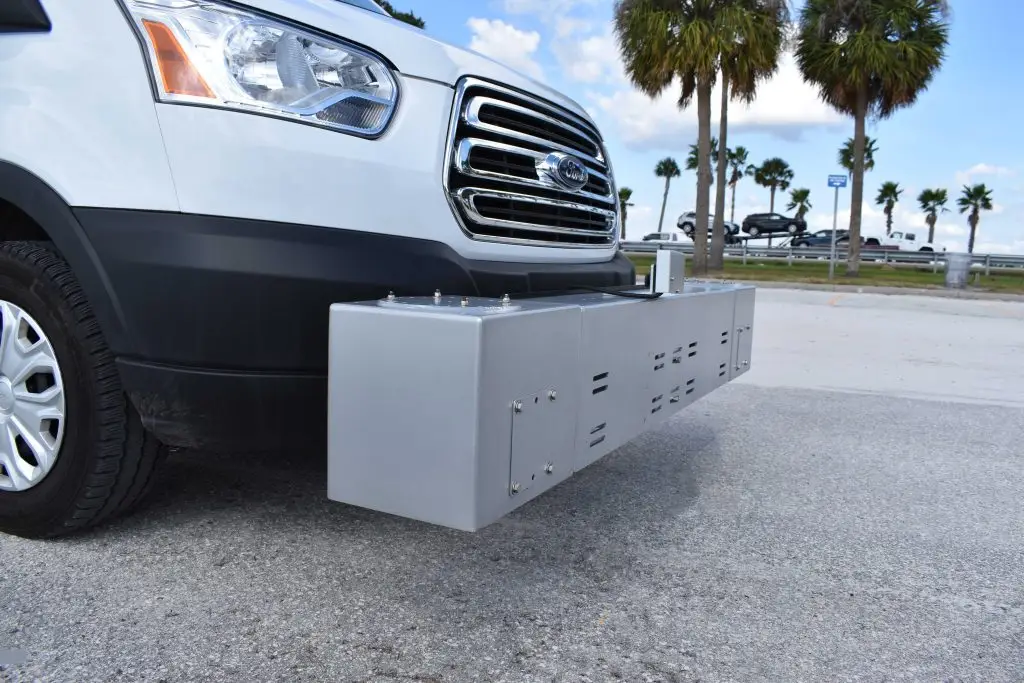
IrisPRO Pave Automated Data Collection Vehicle
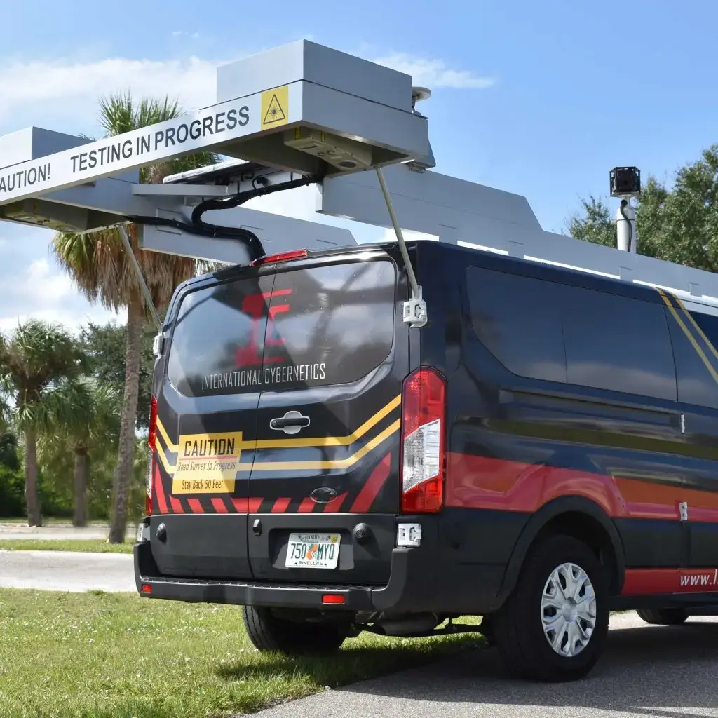
IrisPRO Pave’s 3D Pavement Imaging
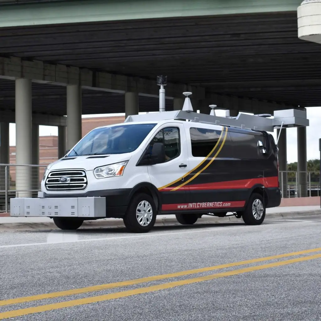
IrisPRO Family of Integrated Solutions
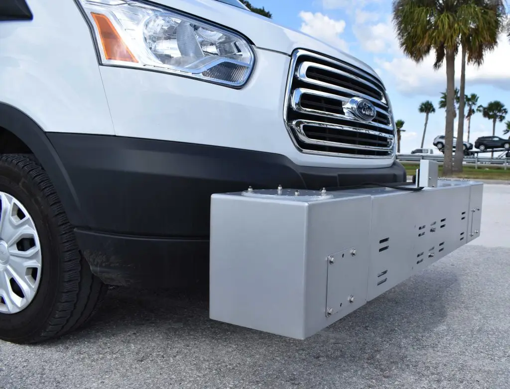
IrisPRO High Speed Profiler
Data Processing - Made Easier
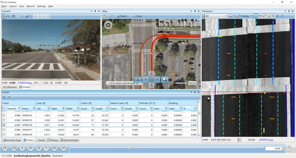
Pavement data is available in higher resolutions and greater volumes than ever before. Processing this data efficiently and producing accurate and repeatable results has been a challenge for the industry. Until now.
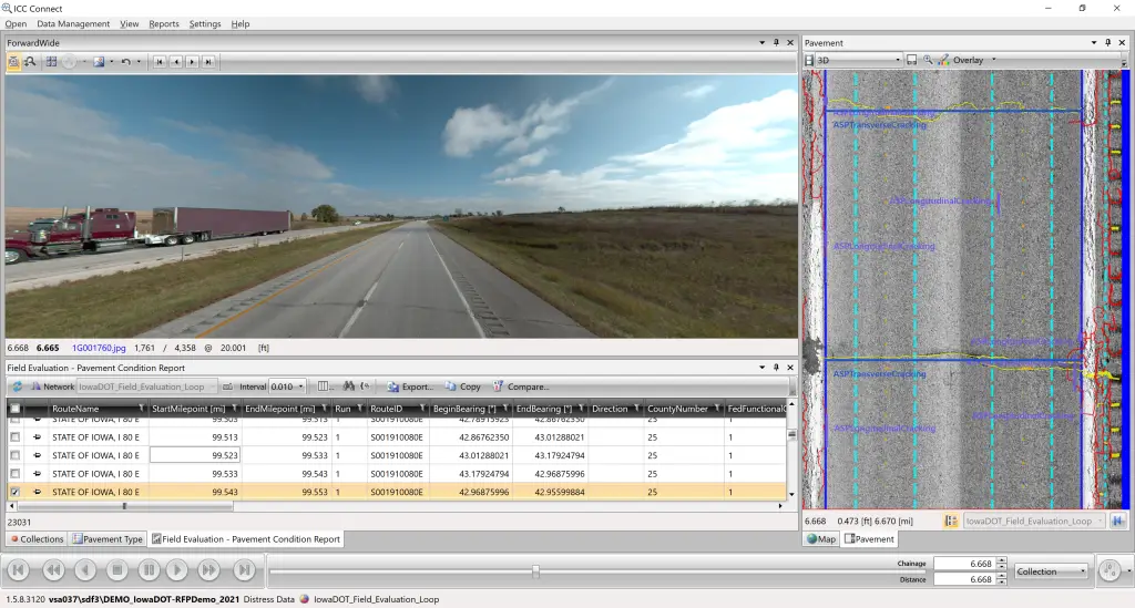
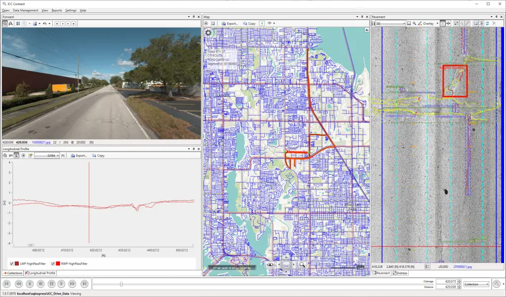
With ICC Connect, one software application is all you need to process your collected data, match it to your roads, view it, compare it, and summarize it for upload into your Pavement Management System (PMS). You will be processing and analyzing data faster and more efficiently than ever before. Contact us today for a demonstration.
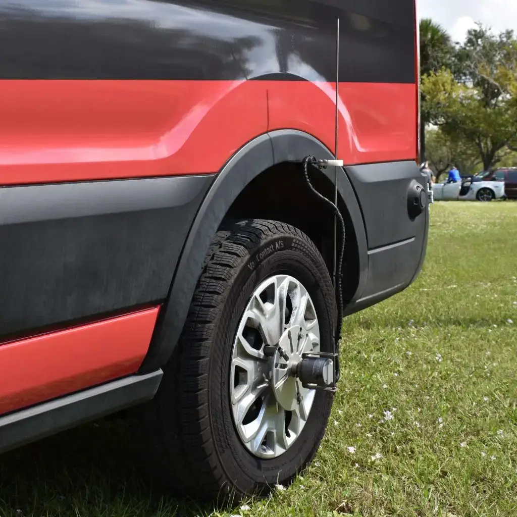
Position and Orientation
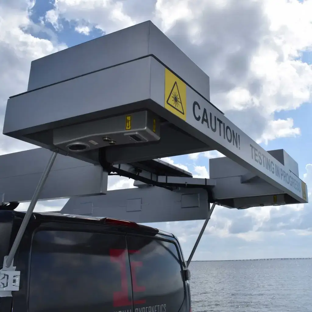
3D Pavement Imaging
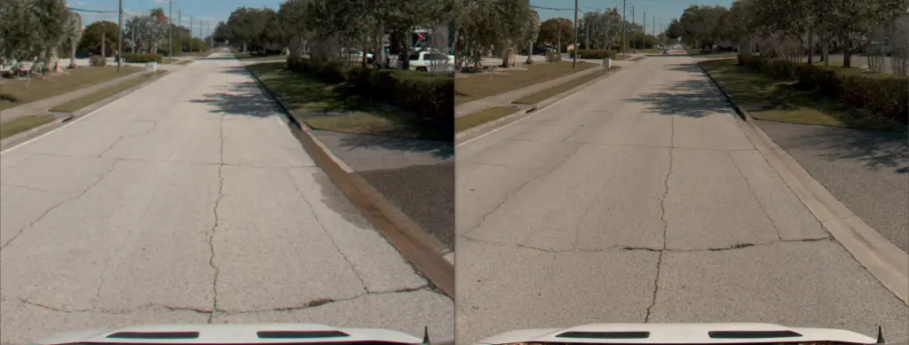
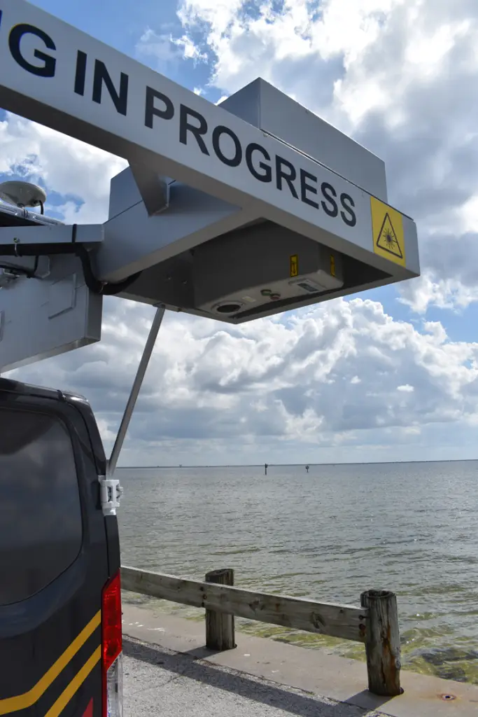
The Laser Crack Measurement System (LCMS) captures continuous 2D and 3D images at 1mm resolution in the lane of travel up to 4 m (13 ft) wide at highway speeds, allowing for the visualization and characterization of all features on the road surface. The system is at home on both asphalt and concrete surfaces.
The new generation LCMS-2 is now available with collection rates up to 28,000 profiles/s, five times faster than the LCMS-1. This allows smaller cracks, especially transverse cracks, to be detected more consistently than in the past. The vertical accuracy has also improved from 0.50 mm to 0.25 mm.
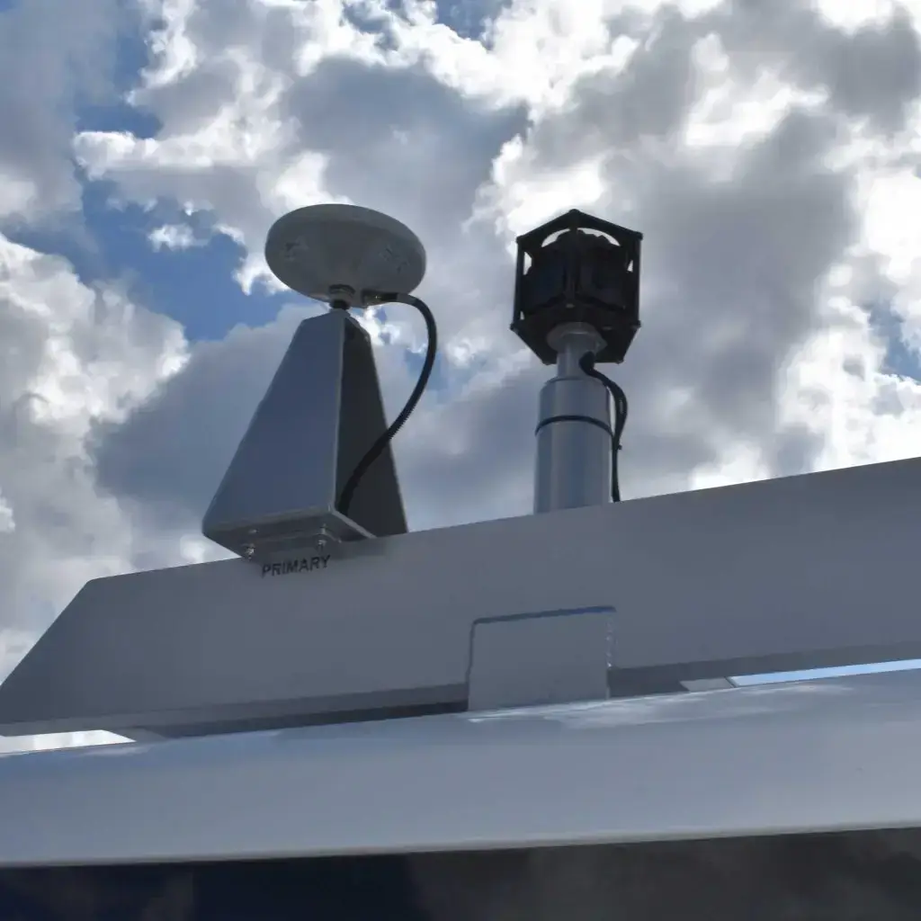
Right of Way Imaging
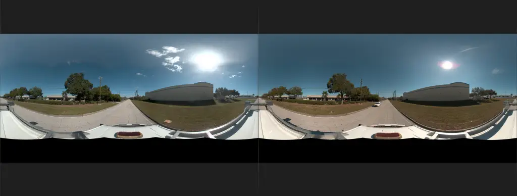
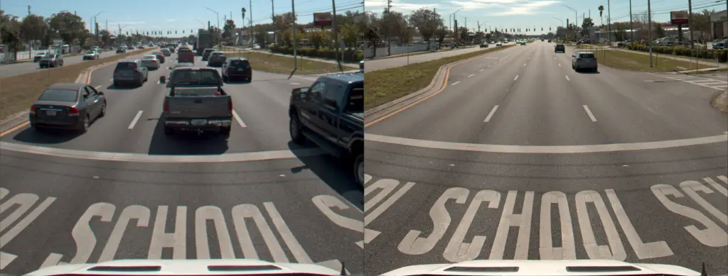
The new Ladybug 6 captures 72MP spherical images using six cameras for a 360-degree panoramic view of the roadway and surroundings. Ladybug 5+ captures 30MP images. The images can be viewed in 360 mode in our software, and individual directional images can be extracted at any desired camera angles.
The ICC collection platform also supports all Basler GigE cameras, with the most common option being the Basler Ace 4K 9MP or 12MP camera.
All cameras are triggered on a fixed-distance basis, image capture is precisely synchronized to GPSTime and DMI, and cameras are calibrated for asset inventory and geo-referenced measurements from the images.
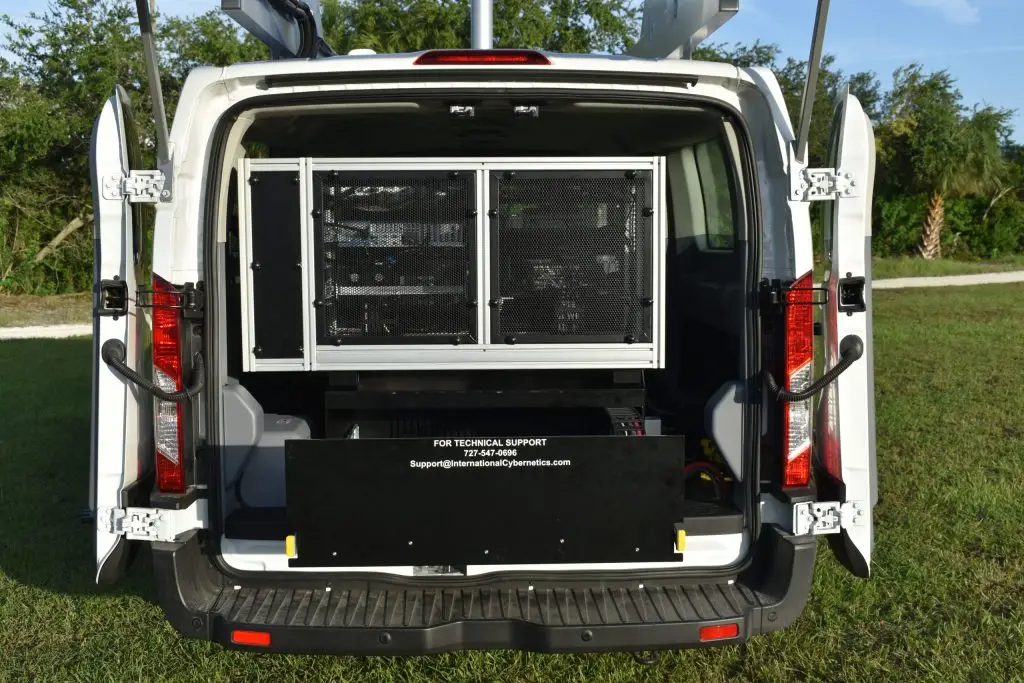
Iris Collection Core
IrisPRO
Iris Cameras
Ladybug 5+ 30MP / Ladybug 6 72MP Cameras
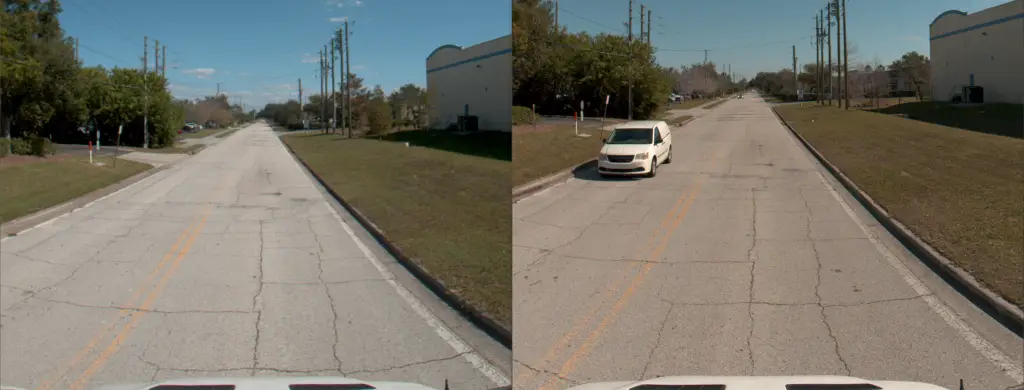
The powerful Ladybug 5+ camera captures high quality spherical images using six integrated cameras for a 360-degree view of the roadway and surroundings. The 360-degree images can be viewed using pan, tilt, and zoom features. Additionally, directional images at any desired aspect ratio and camera angle can be generated. For instance, a project may require 120° forward view perspective images and 90° forward-right images facing the highway shoulder. The image capture is triggered at user-defined, fixed-distance intervals (e.g. 20 feet, 10 meters), and the images synchronized with all other data streams and DMI and GPSTime through the Drive™ collection hardware.
Fully Integrated LCMS
About company

Quick Links
Contact Us
- 10630 75th Street Largo, FL 33777
- +1 727-547-0696 USA
- +1 289-807-4371 CAN
- sales@icc-ims.com
