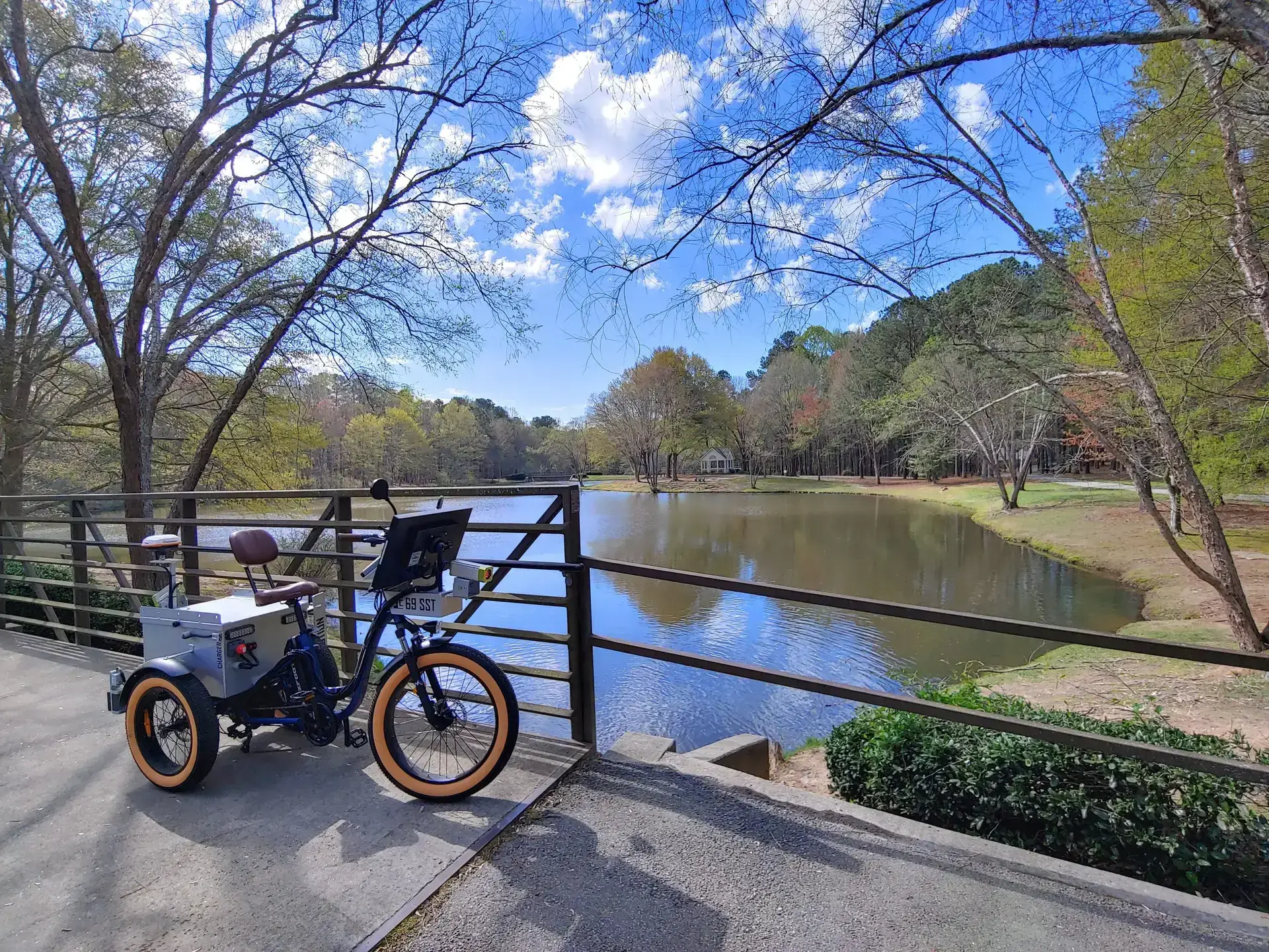
BIKE PATH AND TRAIL SURVEYS
We offer specialized solutions for bike and walking trails, adapting our methods to the specific needs and detail levels required. We conduct mobile surveys by biking through the city’s trails, equipped with custom-designed ArcGIS tools to gather critical data on trail conditions. This process involves collecting information on distresses and obstructions through visual surveys, supported by image collection for post-processing accuracy.
Comprehensive Data Analysis and Reporting
Upon completing these surveys, we conduct a thorough visual assessment of all collected data and imagery to ensure quality and accuracy. Our deliverables typically include an updated GIS inventory, a trail condition rating using a Good-Fair-Poor scale to aid in maintenance and repair planning, and a detailed report summarizing our findings and recommendations.
Efficient and Detailed Inventory Management
Our process starts with an analysis of aerial photography and Google Earth to develop a precise inventory of all bike trails. This data helps us establish an efficient routing plan for field surveys, ensuring comprehensive coverage and streamlined reporting.
Timely Execution and Quality Control
With the ability to cover 10 to 25 miles per day, our field surveys are designed to be efficient, expecting completion within two weeks. We begin data processing and quality control concurrently with data collection to minimize overall project time.
Our clients


