
If you’re making budget decisions based only on surface condition, you might be flying blind. Add ride quality, structural data, and traffic volume. Model scenarios based on budget, lifespan, and…
Category: New Tech
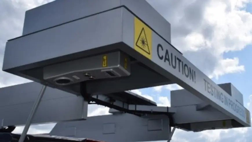
Crack Detection, But Make It 3D
By admin0Cracks can be easy to miss—unless you’re detecting them in 3D! Forward-facing images alone can’t capture the full story of your road network. That’s why our LCMS-based 3D laser surveys…
 New TechSoftware
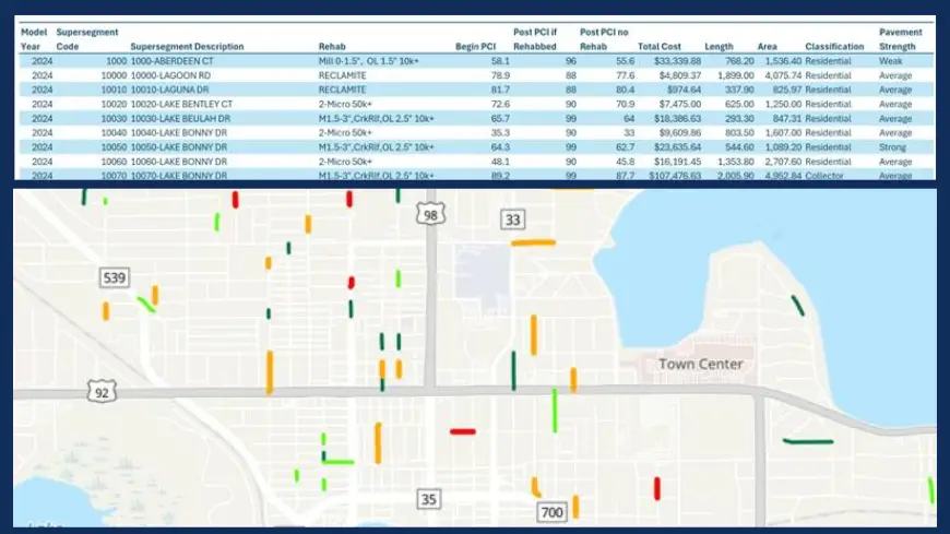
Discover Interactive Mapping with ESA Viewer
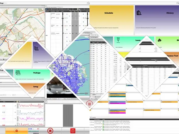
By admin0Interactive Maps in ESA – Visualize Like Never Before! Visual data tells a story your spreadsheet never could. With our latest ESA release, you can now generate HTML files with…
 IndustryNew Tech
Good Data is Only the Beginning
By admin0The real question is: What should we do about it? More vendors are collecting pavement condition data with smartphones, cameras, and lidar—but data alone doesn’t solve problems. Agencies need…
 InnovationNew TechSoftware
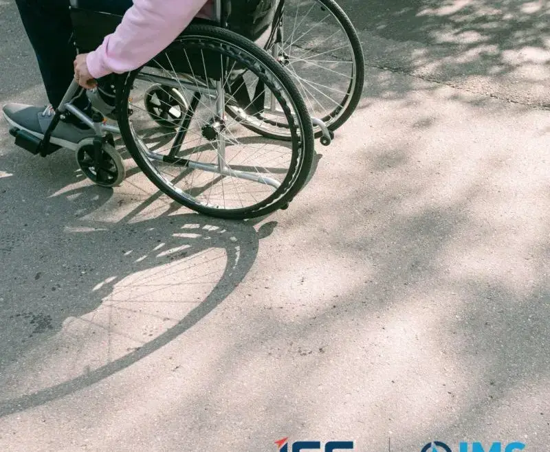
Our SST Technology
By admin0Making sidewalks accessible to all is non-negotiable. Our SST technology assesses ADA compliance issues across sidewalks and trails, capturing data on widths, slopes, and more. Let’s create spaces where everyone…
 IndustryInnovationNew Tech
We are thrilled to announce the release of Drive 1.9.5!
By admin0We are thrilled to announce the release of Drive 1.9.5, our latest collection software update packed with powerful enhancements designed to elevate your experience with our IrisPRO line of pavement…