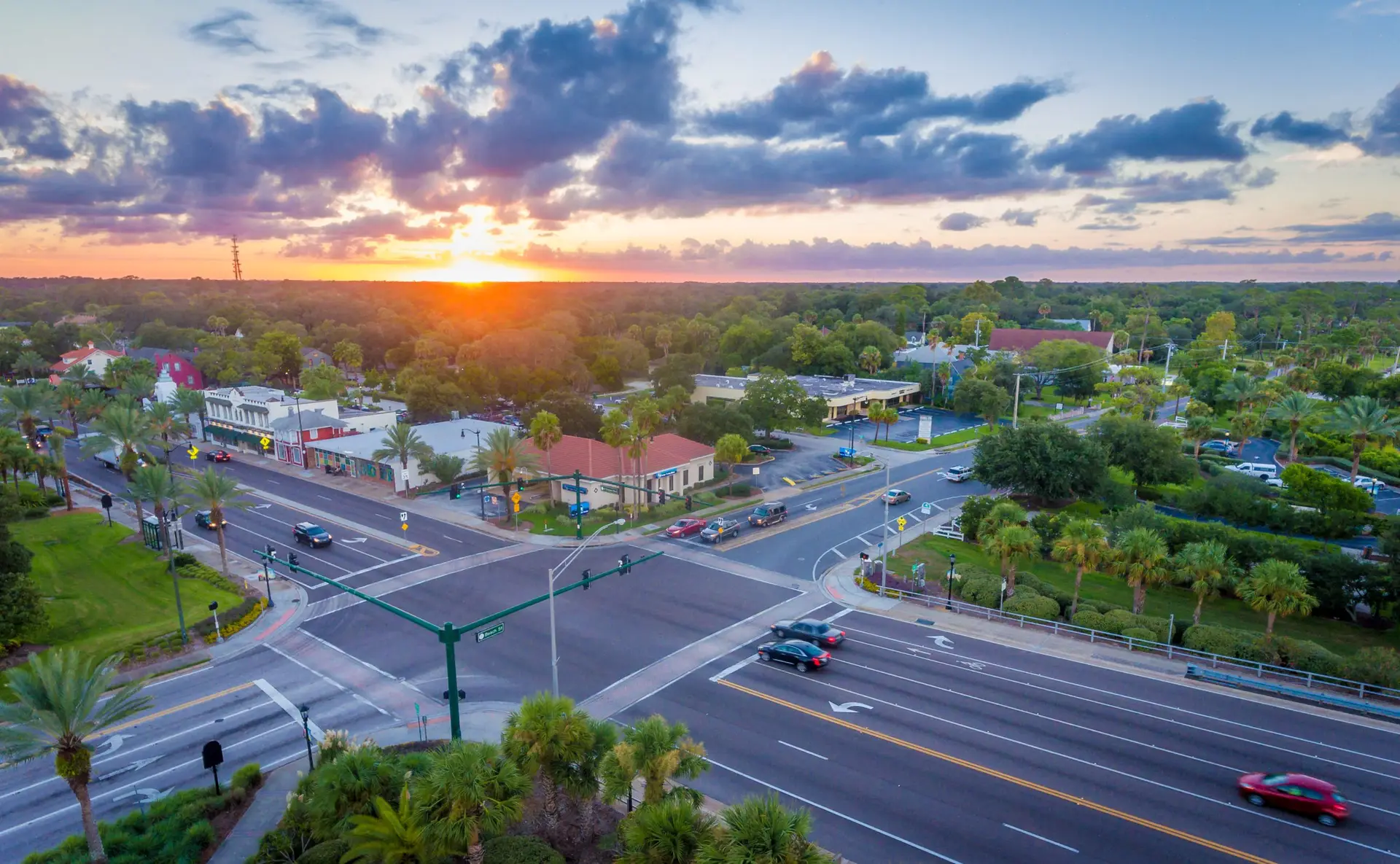
Right of way Asset Inventory
We understand that right of way (ROW) asset data collection is not just a task—it’s a cornerstone of infrastructure management and planning. That’s why nearly half of our services projects involve comprehensive ROW asset data collection, leveraging our deep expertise in managing ROW asset inventories and condition assessments.
Precision and Innovation
Our dedicated team excels in the meticulous collection of data for various ROW assets, including traffic control signs, pavement markings, curb and gutter, sidewalks, ramps, and striping. Utilizing state-of-the-art high-resolution imagery, we capture every detail of traffic control signs and pavement features. This process ensures that all essential data, from geometry to attribution, is accurately documented in the Master Asset List (MAL). The MAL not only details the specifications of each asset but also outlines the precise capture methodology, ensuring clarity and consistency across the board.
Advanced Technology for Comprehensive Coverage
As we conduct pavement surveys, our innovative ROW imagery collection takes place simultaneously. Our cutting-edge LCMS-2 system, equipped with up to four high-definition cameras, captures a full 360-degree view of the ROW. This setup includes dedicated forward and rear views, providing a holistic perspective that is vital for thorough asset documentation.
Before field surveys begin, our team meticulously confirms and calibrates the camera views to ensure optimal coverage. Any necessary adjustments to the camera orientation or location are made at this stage, guaranteeing that the final imagery meets our stringent standards.
Seamless Integration and Accessibility
Post-collection, the high-definition imagery is expertly processed and segmented into 15-foot intervals. Each segment is carefully formatted and branded with relevant header data alongside the client’s branding. This detailed imagery is then linked to the GIS centerline, offering a geodatabase complete with hyperlinks for easy navigation and analysis.
For areas less traveled, such as gravel roads, we deploy specialized vehicles equipped to handle rugged terrains, ensuring that no asset goes unrecorded. These vehicles are specifically tasked with identifying and mapping traffic control signs, ensuring comprehensive coverage across all roadway types.
We are committed to delivering unparalleled precision and innovation in ROW asset data collection. Our tailored solutions ensure that every asset, no matter how small, is documented and accessible, helping agencies manage their infrastructure more effectively. Our team not only understands the importance of accurate data collection but also excels in transforming this data into actionable insights.
Our clients


