
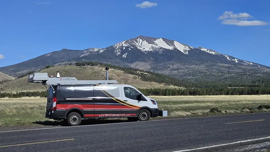
As the largest provider of pavement data collection services for counties and municipalities in the US and Canada, we are proud of our innovative IrisPRO Pave. This Integrated Road Information System (Iris) revolutionizes pavement management and infrastructure solutions, offering a comprehensive and integrated approach to data collection. We ensure pavement data is accurate, efficient, and actionable! Let’s check out some FAQs:
How does the IrisPRO Pave make pavement data collection faster? It streamlines the entire data collection process making it easy to calibrate and maintain the equipment. The Collection Core ensures tight synchronization between all subsystems, providing reliable and efficient data collection. The intuitive software tracks routes in real-time, reducing the time and cost involved in road condition surveys.
What is the Collection Core, is it important? The Collection Core is the heart of the system. It custom-designs hardware and software to provide sub-millisecond synchronization between all systems, including lasers, accelerometers, ROW cameras, computers, and pavement imaging systems. This ensures seamless integration and reliable data collection.
How does the collection software improve the collection process? The software allows for real-time integration with client GIS, ensuring sections are accurately collected and managed. It helps keep sensors in calibration, warns operators of issues, and tracks routes efficiently, reducing downtime and errors.
How does the IrisPRO Pave ensure data reliability? The system’s rugged computers and synchronized subsystems ensure minimal downtime and high reliability. The software continuously monitors the health of the equipment and alerts operators if anything is not functioning correctly, ensuring consistent and reliable data collection.
How does the integration with GIS benefit data collection? Integration with GIS allows the software to track and visualize routes in real-time, ensuring all sections are covered accurately. This minimizes errors and ensures no area is missed, improving overall efficiency and accuracy.
What are the benefits of using Ladybug cameras? They provide high-resolution, 360-degree panoramic images, overcoming the overlap and alignment limitations of directional cameras. This ensures comprehensive coverage and accurate data capture at fixed-distance intervals, saving storage space and improving data quality.
Can the IrisPRO Pave be used in challenging environments? Yes! The system is equipped with advanced GPS/INS systems that capture accurate data even in environments with poor GPS signals, such as under tall buildings, overpasses, tunnels, or trees. This ensures reliable data collection in all conditions.
How can I learn more? Visit our website at icc-ims.com or contact us!
#IrisPROpave #RoadConditionSurvey #DataCollection #PavementCondition #PavementManagement #PMS #PavementData #InfrastructureSolutions #RoadManagement