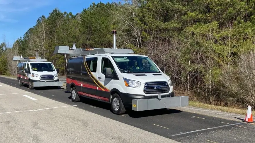
Largo, FL – The Arizona Department of Transportation (ADOT) has awarded the Geospatial Roadway Data Collection and Inventory 2022 contract for approximately 15,000 lane miles of state roads to .
ADOT will utilize ICC solutions and to collect pavement condition data, roadway images, as well as a sign and striping inventory. ICC will support ADOT by collecting, processing, and validating the geospatial roadway data identified in the Federal Highway Administration’s (FHWA) Highway Performance Monitoring System (HPMS), Model Inventory of Roadway Elements (MIRE), in addition to other road related items. ICC’s data collection services provide consistent, high quality, and full coverage of required data elements to meet HPMS requirements, providing ADOT with reliable and repeatable information for programming, planning, and FHWA reporting requirements.
ICC’s systems, using the latest sensors including the profiler, Ladybug 5+ imaging, LCMS-2 pavement imaging, and iXBlue positioning system with our Drive™ software, will collect robust and accurate roadway condition data. In addition, ICC’s software will process the data to meet ADOT Pavement Management System (PMS) requirements. The fully integrated ICC systems provide true automation in data processing, enabling unparalleled accuracy and repeatability. The quality and timeliness of collected, processed, and delivered data is a top priority and is monitored right from the start of the project.
“ICC’s solutions will allow ADOT engineers to focus on pavement data analysis, treatment optimization, and maintenance planning by using validated and repeatable data,” stated Michael Nieminen, ICC’s CEO. “The ICC field team is eager to begin collecting in the upcoming weeks!”
Better Data. Better Decisions. ICC Engineering Innovation since 1975.

