For years, Baker City managed its streets the way a lot of small cities do — hand-drawn segments, a legacy database, and a lot of staff time spent making subjective calls about which roads needed work.
This year, that changed.
We surveyed nearly 85 centerline miles of Baker City roadway with our IrisPRO Pave vehicle, capturing every lane and processing surface distresses to ASTM D6433 standards. The result: Baker City’s first-ever modern pavement management system — and a defensible, data-driven foundation for every maintenance and capital decision going forward.
What they walked away with:
- A 5-year network-level pavement management plan (Easy Street Analysis)
- Pavement condition data in geodatabase and tabular formats
- A right-of-way asset geodatabase built to their Asset Data Dictionary
- An ESA training library and web-based viewer through Inform™
In Barry Murphy’s words:
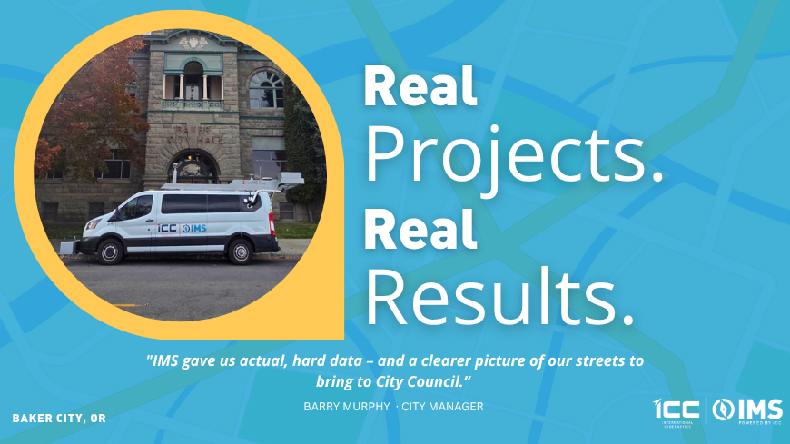
“IMS provided actual, hard data that gave us a clearer understanding of our street conditions and will help us communicate those needs more effectively to City Council.”
— Barry Murphy, City Manager
From paper segments to predictive planning — that’s the leap.
Curious what your roads are really telling you? Let’s find out.